


ObservabilityStack forOcean
Sonar, bathymetry, vehicle telemetry and video from any vendor, on one timeline, in the browser. Every mission is a link anyone can open.
Products
Three products, one archive underneath.
The zero-friction professional workspace for viewing, analysing and delivering any underwater mission.
- Drag and drop XTF, MCAP and ROS bags, .s7k and a growing list of formats
- Sonar, track, telemetry and camera on one synchronised timeline
- Permanent permalinks anyone can open without an account
- moonloop AgentSoon
- moonloop AutonomySoon
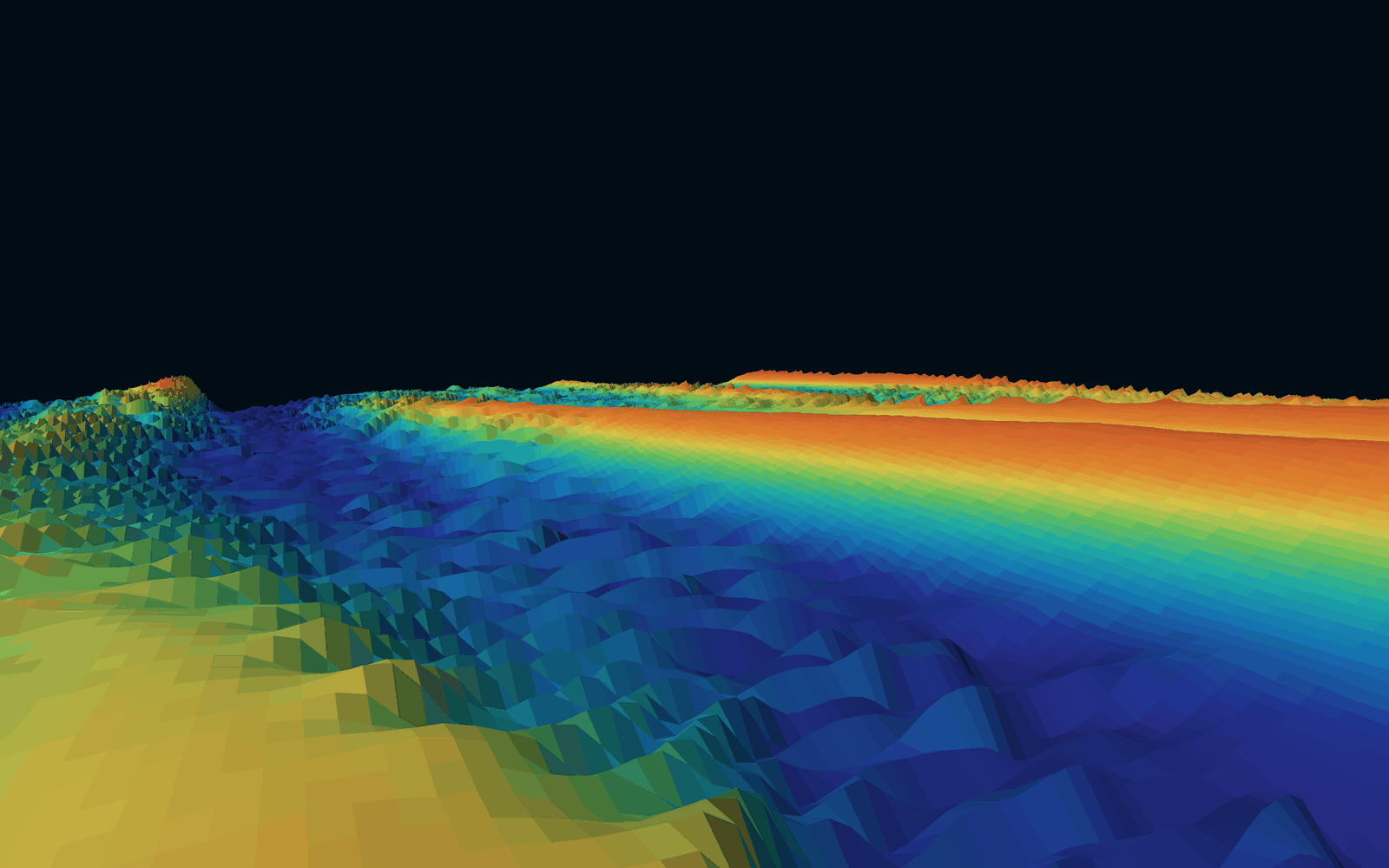
Seabed shown is real: EMODnet Digital Bathymetry (DTM 2024) at the IJmuiden Ver Wind Farm Zone, owned by the EU and licensed CC BY 4.0. Subset to a 30 km square and quantised to 16 bit. Not for navigation.